Baneh, Kurdistan, Iran – Comprehensive GIS Shapefile Dataset
€0.00
Explore Baneh, a scenic city in Kurdistan Province in western Iran, located near the country’s border with Iraq and surrounded by the rugged Zagros Mountains. Known for its mountainous landscape, pleasant climate, forests, and important commercial activity, Baneh is one of the notable cities of the region and an interesting area for mapping and geospatial visualization. This comprehensive Baneh Shapefile dataset contains a wide variety of geographic layers covering buildings, roads, land use, natural features, waterways, places, points of interest, boundaries, railways, and other mapped features. The extensive collection of layers makes the dataset useful for general GIS visualization, map creation, geographic exploration, urban presentation, and other non-critical mapping projects. The dataset has been prepared through the collection and organization of carefully gathered and highly detailed available geographic data in order to provide broad spatial coverage of Baneh. However, despite the effort made to compile detailed information, this product has no technical or survey-grade value. It should not be considered an authoritative geographic database and is not intended for scientific, academic, engineering, surveying, legal, governmental, or other precision-critical applications. This product is primarily intended for general visualization, educational exploration, GIS practice, cartographic projects, and creative or commercial mapping applications where survey-level accuracy is not required.
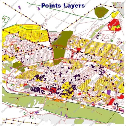
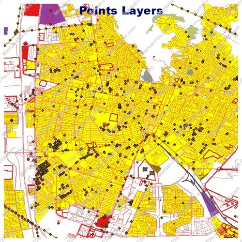
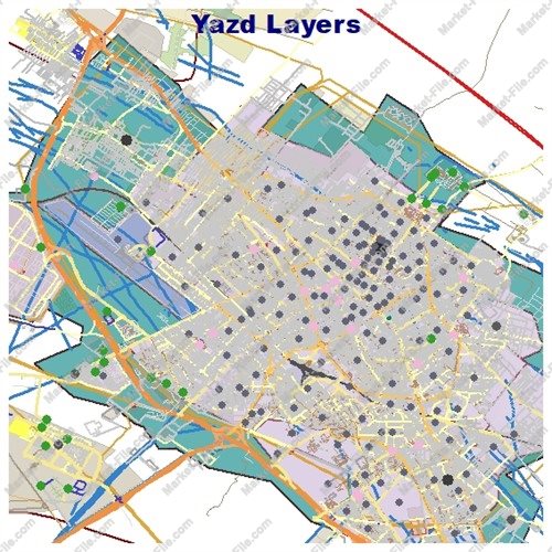
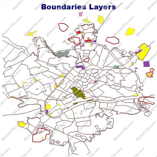
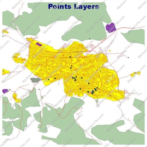
This Baneh GIS Shapefile package includes a broad collection of geographic layers designed to provide a detailed visual representation of the city and its surrounding features. The dataset contains 21 different layer categories, covering built-up areas, transportation networks, natural features, land use, places, points of interest, boundaries, and water-related elements. The **boundaries_lines** and **boundaries_polygons** layers contain linear and polygonal boundary features that can help represent administrative or other mapped territorial divisions. The **buildings** layer contains mapped building footprints, providing a useful overview of the built environment and developed areas of Baneh. The **landuse** layer represents different land-use areas, while **multipolygons** contains complex polygon-based geographic features that may consist of multiple connected or separated geometries. Together, these layers help provide a broader picture of how different areas of the city and its surroundings are organized. Natural geographic features are represented through **natural_lines**, **natural_points**, and **natural_polygons**, covering various linear, point-based, and area-based natural elements. Additional geographic information is included in **other_lines**, **other_points**, and **other_polygons**, which contain miscellaneous mapped features that do not fall into the primary categories. The package also includes **places_points** and **places_polygons**, providing point and polygon representations of mapped places. The general **points** layer contains additional point-based geographic information. Several dedicated layers focus on points of interest and related features: **pois_lines**, **pois_points**, and **pois_polygons**. These provide different geometric representations of mapped POIs and can be useful for visualization and location-based mapping. Transportation-related information is represented by **roads_lines** and **roads_polygons**, covering road features in both linear and polygonal form. The **railways** layer contains mapped railway-related features. Finally, the **water** and **waterways** layers represent water-related geographic features, including mapped water bodies and linear waterways. Overall, this package provides a diverse set of GIS layers for Baneh and is suitable for general mapping, visualization, GIS practice, cartographic design, and non-critical geographic projects. The dataset is not intended for scientific, engineering, surveying, legal, or precision-critical applications.
- Category
- Shapefile, Maps, Vector Maps
- Type
- Map
- SKU
- OS-E745362971
- File
- Baneh.rar
- Size
- 462.3 KB
- Licenses
- Personal · €0.00
- Tags
- GIS Shapefile, Iran Shapefile, Iran GIS Data, Baneh Shapefile, Baneh GIS, Kurdistan GIS, Baneh Map, Kurdistan Map, Baneh Geographic Data, Baneh Map Data
- Companion files included
- .shp, .shx, .dbf, .prj, .cpg, .sbn, .sbx, Other
- Compatible software
- QGIS, ArcGIS Pro, ArcMap, Other
- Complete Shapefile set
- Seller Declared Complete (.shp + companions)
- Continent
- Asia
- Coverage type
- City
- File formats included
- SHP, Other
- Geometry types
- Point, Multipoint, Line, Polygon, Multipolygon, Other
- Intended audience
- Students, Travelers, Other
- Map asset type
- General Reference Map, GIS Dataset, Vector Graphic Map, Historical Map, Printable / Decorative Map, Web / Interactive Map Asset, Other
- Map purpose
- Presentation, Print, Web Mapping, Other
- Package
- Single file