Cologne Germany Shapefile – GIS Layers
€0.00
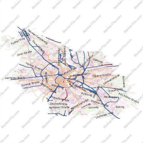
Explore Cologne, one of Germany’s most historic and vibrant cities. Located along the Rhine River in western Germany, Cologne is famous for its magnificent cathedral, Roman heritage, cultural attractions, thriving economy, and role as a major commercial and transportation hub. This Shapefile dataset contains multiple geographic layers representing different aspects of Cologne and its urban environment. Depending on the included data, layers may cover administrative boundaries, buildings, land use, natural features, transportation elements, points of interest, and other geographic objects. These diverse layers offer flexibility for GIS mapping, cartographic design, geographic visualization, and general exploration. The dataset has been compiled by carefully collecting available geographic data from multiple sources to provide a broad and detailed representation of the city. However, a large number of layers and geographic features does not guarantee accuracy, completeness, consistency, or authoritative data quality. **Important Disclaimer:** This dataset is intended for general reference, visualization, demonstration, and non-critical mapping purposes only. The information has not been independently verified against professional surveying, engineering, or scientific standards. Differences in source quality, update dates, coordinate systems, and completeness may affect reliability. The dataset has no guaranteed technical or scientific validity and must not be used for academic research, scientific analysis, engineering projects, official decisions, or applications requiring verified geographic accuracy. Users are responsible for assessing its suitability for their intended purposes. A versatile GIS resource for exploring Cologne and creating illustrative maps, with clear limitations regarding accuracy and reliability.
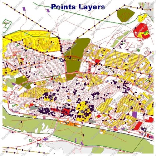
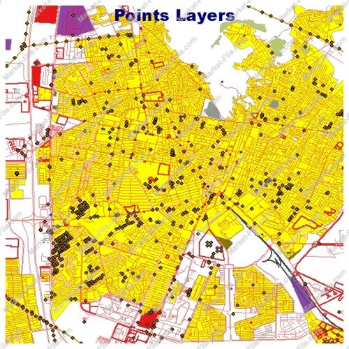
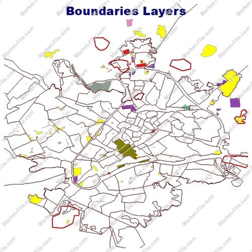
Explore Cologne, Germany, with this multi-layer GIS Shapefile dataset featuring 22 geographic layers covering urban structures, transportation networks, natural features, water systems, administrative boundaries, and points of interest. Located on the Rhine River, Cologne is one of Germany’s major cultural, economic, and historical centers. This dataset brings together a wide variety of geographic features, providing a detailed visual overview of the city for general mapping, GIS demonstrations, cartographic design, and geographic exploration. **Included GIS Layers:** - **Boundaries:** `boundaries_lines`, `boundaries_polygons` – boundary lines and polygon features. - **Buildings and Land Use:** `buildings`, `landuse`, `multipolygons` – building footprints, land-use areas, and combined geographic features. - **Natural Features:** `natural_lines`, `natural_points`, `natural_polygons` – natural elements represented as lines, points, and polygons. - **Other Features:** `other_lines`, `other_points`, `other_polygons` – additional geographic objects categorized by geometry type. - **Places and Points:** `places_points`, `places_polygons`, `points` – mapped locations, place features, and point-based objects. - **Points of Interest:** `pois_lines`, `pois_points`, `pois_polygons` – points of interest represented through different geographic geometries. - **Transportation:** `railways`, `roads_lines`, `roads_polygons` – railway networks, road lines, and road-related polygon features. - **Water Systems:** `water`, `waterways` – water bodies and mapped waterways. **Data Collection and Limitations** The dataset has been assembled through the careful collection of available geographic data from multiple sources to provide a broad range of mapped features in one package. However, layer availability and feature density do not guarantee positional accuracy, completeness, or consistency. **Important Disclaimer:** This product is intended for general visualization, reference, and non-critical mapping purposes. The data has not been independently validated to meet professional technical or scientific standards. It has no guaranteed technical or scientific validity and should not be used for academic research, scientific analysis, surveying, engineering, official decisions, or projects requiring verified geographic accuracy. Users should independently assess its suitability before use. A versatile multi-layer GIS resource for exploring and visualizing the urban geography of Cologne, Germany.
- Category
- Shapefile, Maps, Vector Maps
- Type
- Map
- SKU
- OS-ACC36A19A1
- File
- Cologne.zip
- Size
- 59.5 MB
- Licenses
- Personal · €0.00
- Tags
- GIS Layers, Land Use Data, Railway Network, Geographic Data, Urban Mapping, Roads Shapefile, Buildings GIS, Germany GIS Data, Cologne GIS, Cologne Shapefile
- Companion files included
- .shp, .shx, .dbf, .prj, .cpg, .sbn, .sbx, Other
- Compatible software
- QGIS, ArcGIS Pro, ArcMap, Other
- Complete Shapefile set
- Seller Declared Complete (.shp + companions)
- Continent
- Europe
- Coverage completeness
- Complete
- Coverage type
- City
- Documentation included
- No
- File formats included
- SHP, Other
- Geometry types
- Point, Multipoint, Line, Polygon, Multipolygon, Other
- Georeferenced
- Yes
- Intended audience
- Students, General Public, Other
- Level of detail
- High
- Map asset type
- General Reference Map, Vector Graphic Map, Tourism Map, Printable / Decorative Map, Web / Interactive Map Asset
- Map Format
- SHP
- Map purpose
- Education, Print, Web Mapping, Other
- OpenStreetMap data included
- Yes
- Package
- Single file
- Scale category
- Medium Scale
- Third-party data included
- Yes