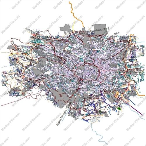
Milan Italy Shapefile – Complete Urban Map
€0.00
Explore Milan, Italy, with this comprehensive Shapefile package covering a wide range of urban, geographic, and infrastructure features. Milan is the capital of Lombardy and one of Italy’s most important economic and cultural centers, internationally recognized for fashion, design, architecture, business, and historic landmarks. This dataset contains multiple GIS layers representing different aspects of the city, including buildings, roads, railways, land use, administrative boundaries, natural features, waterways, places, and points of interest. Its diverse layer structure makes it useful for general mapping, cartographic visualization, GIS software practice, preliminary spatial exploration, and digital map design. The Shapefile has been assembled by collecting available geographic data from multiple sources to provide broad feature coverage. Although the package includes numerous thematic layers and a substantial amount of geographic information, it should not be considered a technically authoritative, professionally validated, or survey-grade dataset. The information may contain inconsistencies, omissions, positional inaccuracies, or differences in data quality between sources. This product is intended for general visualization, demonstration, and exploratory mapping purposes only. It is not suitable for scientific research requiring verified accuracy, engineering projects, cadastral applications, official planning decisions, or other uses that depend on precise and validated geographic data. Buyers should independently verify the data before using it in any practical workflow. The package offers a convenient starting point for exploring Milan through a multi-layer GIS dataset.
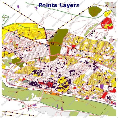
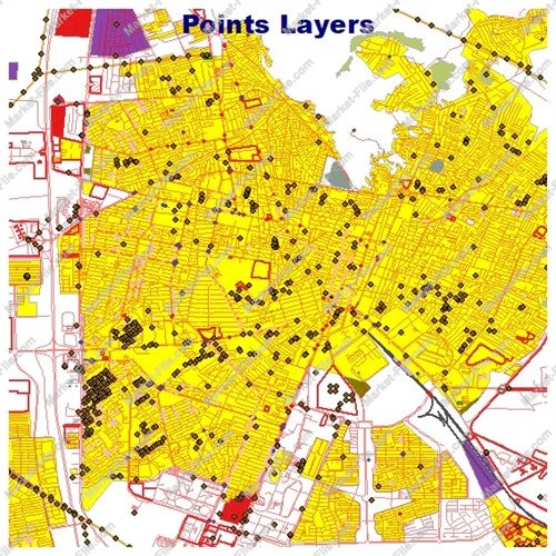
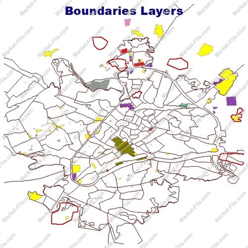
This Milan, Italy Shapefile package includes 21 GIS layers covering urban structures, transportation networks, land use, natural features, boundaries, and places of interest. Each layer represents a different category of geographic information and can be explored separately in compatible GIS applications. **Administrative Boundaries** - **boundaries_lines:** Linear representations of boundaries, borders, and other boundary-related features. **Buildings and Land Use** - **buildings:** Building footprints and mapped structures across the covered area. - **landuse:** Land-use categories representing different types of urban and non-urban land. - **multipolygons:** Complex geographic features represented by multipolygon geometries, potentially combining several separate areas into one feature. **Natural Features** - **natural_lines:** Linear natural features, such as mapped environmental formations. - **natural_points:** Point locations associated with natural geographic features. - **natural_polygons:** Natural areas represented as polygons, including potentially vegetated or other mapped landscape features. - **water:** Water-related geographic features represented in the dataset. - **waterways:** Linear water features, such as mapped channels and other watercourse elements. **Other Geographic Features** - **other_lines:** Additional linear features that do not fall into the main thematic categories. - **other_points:** Miscellaneous point features. - **other_polygons:** Additional polygon features representing areas outside the primary classifications. - **points:** A general collection of point-based geographic features. **Places and Points of Interest** - **places_points:** Locations of mapped places represented as points. - **places_polygons:** Place-related features represented as polygon areas. - **pois_lines:** Points of interest represented by linear geometries. - **pois_points:** Point-based locations of interest, potentially including landmarks, facilities, and other mapped destinations. - **pois_polygons:** Points of interest represented as polygon features. **Transportation Infrastructure** - **railways:** Railway-related features representing mapped rail infrastructure. - **roads_lines:** Linear road network features suitable for general street-map visualization. - **roads_polygons:** Road-related areas represented by polygon geometries. Together, these 21 layers provide a broad overview of Milan's mapped urban environment and surrounding geographic features. The exact contents, attributes, completeness, and positional accuracy of individual layers depend on their underlying source data. Layer names indicate general feature categories and do not guarantee that every expected feature type is present. This package is designed for general GIS exploration and visualization, not for authoritative scientific, engineering, or cadastral applications.
- Category
- Shapefile, Maps, Vector Maps
- Type
- Map
- SKU
- OS-3CF0D46CFB
- File
- milan.rar
- Size
- 20.8 MB
- Licenses
- Personal · €0.00
- Tags
- Urban GIS, Road Network, Points of Interest, Geospatial Data, Italy GIS Data, Building Footprints, Milan GIS Map, Milan Shapefile, Railway GIS, Land Use Shapefile
- Companion files included
- .shp, .shx, .dbf, .prj, .cpg, .sbn, .sbx, Other
- Compatible software
- QGIS, ArcGIS Pro, ArcMap, Other
- Complete Shapefile set
- Seller Declared Complete (.shp + companions)
- Continent
- Europe
- Coverage type
- City
- File formats included
- SHP, Other
- Geometry types
- Point, Multipoint, Line, Polygon, Multipolygon, Other
- Intended audience
- Students, Other
- Map asset type
- General Reference Map, Vector Graphic Map, Tourism Map, Printable / Decorative Map, Web / Interactive Map Asset, Other
- Map purpose
- Education, Print, Other
- Package
- Single file