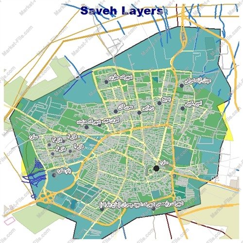
Saveh, Iran Shapefile – Complete GIS Map
€0.00
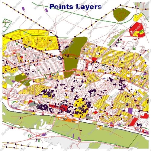
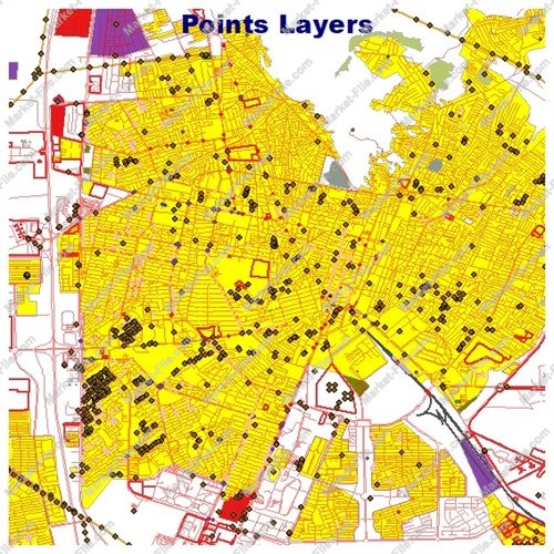
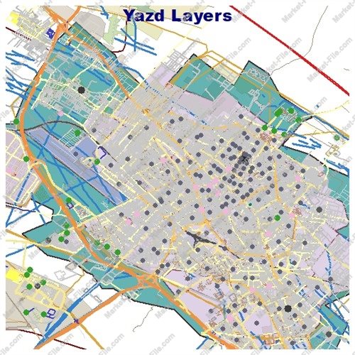
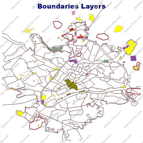
Explore Saveh, one of the historic cities of Markazi Province in central Iran, with this comprehensive Shapefile collection designed for mapping, geographic visualization, and general spatial exploration. Saveh is known for its rich historical heritage, agricultural activities, and strategic location along important transportation routes connecting different parts of Iran. This digital map package includes 22 diverse GIS layers covering urban structures, transportation networks, land use, natural features, water systems, administrative boundaries, places of interest, and other geographic elements. The collection provides a structured overview of Saveh and its surrounding mapped features, making it useful for map design, GIS practice, cartographic projects, location visualization, and general geographic reference. The files have been prepared through the collection and organization of the most detailed available geographic data for this project. Multiple geometry types, including points, lines, and polygons, help users explore different categories of mapped features within a single package. Please note that this product is intended for general informational, visualization, and illustrative purposes only. It has no certified engineering, surveying, cadastral, or technical validity and must not be used for scientific research, academic studies, official documentation, legal decisions, land registration, or engineering and infrastructure projects. Data completeness, positional accuracy, and current conditions are not guaranteed. Independent verification is required before any practical use.
This Saveh, Iran Shapefile package contains 22 GIS layers organized to represent a wide variety of geographic features, urban elements, transportation infrastructure, natural characteristics, and points of interest. The collection combines point, line, and polygon geometries to provide a versatile foundation for general-purpose mapping and geographic visualization. **Administrative Boundaries and Built Environment** - **boundaries_lines:** Linear features representing mapped administrative or geographic boundaries. - **boundaries_polygons:** Polygon features representing boundary areas. - **buildings:** Building footprints and mapped building-related features. - **landuse:** Areas classified by land use, such as residential, commercial, agricultural, or other mapped land categories. - **multipolygons:** Complex geographic features represented by multiple connected or separate polygon geometries. **Natural Features and General Geographic Objects** - **natural_lines:** Linear natural features, such as selected geological or landscape elements. - **natural_points:** Point-based natural features. - **natural_polygons:** Area-based natural features, including mapped natural landscapes. - **other_lines:** Additional linear features that do not belong to the primary categories. - **other_points:** Miscellaneous point features. - **other_polygons:** Other mapped geographic areas. - **points:** General point locations representing individual geographic objects. **Places and Points of Interest** - **places_points:** Point locations associated with settlements, localities, and named places. - **places_polygons:** Polygon representations of places or settlement areas. - **pois_lines:** Linear features associated with mapped points of interest. - **pois_points:** Individual points of interest, potentially including notable locations and amenities. - **pois_polygons:** Area-based points of interest represented as polygons. **Transportation Networks** - **railways:** Mapped railway routes and related linear transportation features. - **roads_lines:** Road networks represented as linear features. - **roads_polygons:** Roads and transportation areas represented as polygons. **Water Features** - **water:** Mapped water bodies and water-related areas. - **waterways:** Linear water features, such as rivers, streams, and channels. Together, these 22 layers offer a broad selection of geographic data for Saveh, suitable for general cartographic design, GIS exploration, map styling, and visual presentation. Layer availability and feature coverage may vary across the mapped area. The package is not a certified technical dataset and should not be relied upon for scientific, academic, engineering, surveying, legal, or official applications. Verify all information independently before use.
- Category
- Shapefile, Maps, Vector Maps
- Type
- Map
- SKU
- OS-D403A2BAD0
- File
- Saveh.rar
- Size
- 863.2 KB
- Licenses
- Personal · €0.00
- Tags
- Land Use Map, Geographic Data, Roads Shapefile, Digital Map, Buildings Shapefile, Iran Shapefile, Markazi Province Map, GIS Data Download, Saveh Shapefile, Saveh GIS Map
- Companion files included
- .shp, .shx, .dbf, .prj, .cpg, .sbn, .sbx, Other
- Compatible software
- QGIS, ArcGIS Pro, ArcMap, Other
- Complete Shapefile set
- Seller Declared Complete (.shp + companions)
- Continent
- Asia
- Coverage completeness
- Complete
- Coverage type
- City
- File formats included
- SHP, Other
- Geometry types
- Point, Multipoint, Line, Polygon, Multipolygon, Other
- Georeferenced
- Yes
- Intended audience
- Students, Travelers, General Public, Other
- Level of detail
- Medium
- Map asset type
- General Reference Map, GIS Dataset, Vector Graphic Map, Tourism Map, Printable / Decorative Map, Web / Interactive Map Asset, Other
- Map Format
- SHP
- Map purpose
- Cartography, Presentation, Print, Web Mapping, Other
- Native project file included
- Yes
- Package
- Single file
- Scale category
- Medium Scale