Bushehr, Iran – Complete City GIS Shapefile Dataset
€0.00
Explore Bushehr, a historic coastal city in southern Iran and the capital of Bushehr Province, with a comprehensive collection of GIS Shapefile layers covering the city's urban environment, infrastructure, natural features, land use, transportation network, buildings, waterways, and points of interest. Located along the Persian Gulf, Bushehr has long been an important maritime, commercial, cultural, and industrial center, making its geographic data useful for mapping, visualization, urban exploration, and GIS-related projects. This Bushehr GIS dataset contains a wide variety of vector layers organized into clearly separated categories. The collection includes boundaries, buildings, land use, roads, railways, waterways, natural features, places, points of interest, and numerous additional geographic objects. The variety of layers makes the package suitable for users who need a broad geographic overview of Bushehr without having to collect individual datasets separately. The files have been prepared through the careful collection and compilation of highly detailed available geographic data for Bushehr. However, this dataset is provided for general mapping, visualization, reference, and practical use only. It has no certified technical, surveying, engineering, or scientific value and should not be considered an authoritative geographic database. It is not intended for academic research, scientific analysis, professional surveying, engineering decisions, or other applications requiring officially verified geographic accuracy.
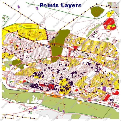
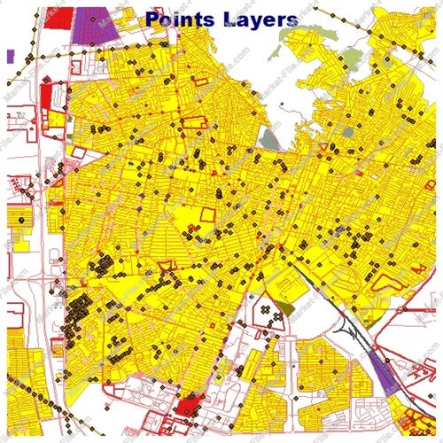
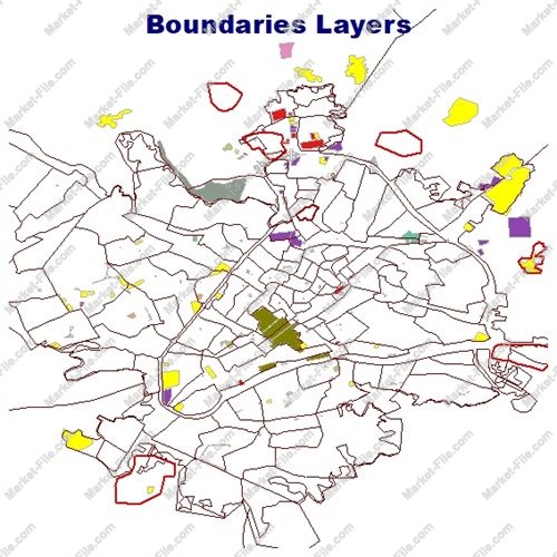
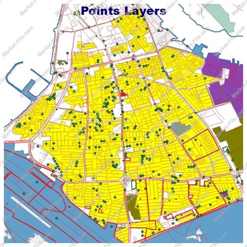
This Bushehr Shapefile package includes a broad collection of geographic layers designed to provide a detailed visual and structural representation of the city and its surrounding features. The dataset contains 21 separate layers covering urban structures, transportation, land use, natural features, administrative boundaries, waterways, places, and points of interest. The boundaries_lines and boundaries_polygons layers represent boundary-related geographic features in line and polygon formats. The buildings layer contains mapped building features, while landuse provides polygons representing different types of land use and developed areas. The multipolygons layer contains additional geographic features represented as multi-part polygon geometries. Natural geographic features are divided into natural_lines, natural_points, and natural_polygons, allowing different types of natural objects to be represented according to their geometry. Additional miscellaneous geographic objects are organized into other_lines, other_points, and other_polygons. The places_points and places_polygons layers provide geographic representations of named or identifiable places in point and polygon formats. The points layer contains additional point-based geographic objects that may be useful for general mapping and visualization. Points of interest are separated into three dedicated layers: pois_lines, pois_points, and pois_polygons. This structure allows different POI geometries to remain organized and easier to work with in GIS software. Transportation data is represented through roads_lines and roads_polygons, providing different geometric representations of road-related features. The railways layer contains mapped railway features. Water-related geographic information is included through the water and waterways layers. These layers provide polygon and line-based representations of water bodies and watercourse features. Complete layer list: boundaries_lines boundaries_polygons buildings landuse multipolygons natural_lines natural_points natural_polygons other_lines other_points other_polygons places_points places_polygons points pois_lines pois_points pois_polygons railways roads_lines roads_polygons water waterways Together, these layers create a versatile Bushehr GIS package suitable for general cartographic visualization, geographic exploration, map creation, GIS practice, and other non-critical applications. The dataset should not be treated as an officially certified or technically authoritative geographic database and is not intended for scientific, academic, surveying, engineering, or precision-dependent applications.
- Category
- Shapefile, Maps, Vector Maps
- Type
- Map
- SKU
- OS-76C4116DF4
- File
- Bushehr.rar
- Size
- 1.2 MB
- Licenses
- Personal · €0.00
- Tags
- Urban GIS, Iran GIS, Iran Shapefile, Persian Gulf GIS, City GIS Data, Bushehr Shapefile, Bushehr GIS, Bushehr Map, Bushehr City, Bushehr Geographic Data
- Companion files included
- .shp, .shx, .dbf, .prj, .cpg, .sbn, .sbx, Other
- Compatible software
- QGIS, ArcGIS Pro, ArcMap, Other
- Complete Shapefile set
- Seller Declared Complete (.shp + companions)
- Continent
- Asia
- Coverage type
- City
- File formats included
- SHP, Other
- Geometry types
- Point, Multipoint, Line, Polygon, Multipolygon, Other
- Intended audience
- Students, Travelers, General Public, Other
- Map asset type
- General Reference Map, GIS Dataset, Vector Graphic Map, Printable / Decorative Map, Web / Interactive Map Asset, Other
- Map purpose
- Presentation, Print, Web Mapping, Other
- Package
- Single file