Amol, Iran Shapefile – Complete GIS Data Layers
€0.00
Amol Shapefile is a geographic data package representing Amol, a historic city in Mazandaran Province, northern Iran. Located south of the Caspian Sea and near the Alborz Mountains, Amol is known for its long history, urban development, commercial activity, and surrounding natural landscape. The package is also useful for exploring geographic patterns and creating illustrative city maps, provided that its limitations are clearly understood. The package contains a wide range of vector layers covering different aspects of the city and its environment, including buildings, roads, land use, boundaries, places, points of interest, waterways, water features, railways, natural features, and other mapped objects. This variety makes the dataset suitable for general mapping, visualization, GIS projects, cartographic presentations, and location-based applications. The files have been prepared by collecting and organizing detailed geographic information from available source materials to provide a rich and practical spatial dataset. However, this product is intended for general and visual use only. It is not a certified or authoritative geographic dataset and has no guaranteed technical, legal, engineering, cadastral, surveying, or measurement value. The data may contain inaccuracies, omissions, outdated information, or differences from official sources. Therefore, this Shapefile should not be used for academic or scientific purposes, engineering design, surveying, legal decisions, cadastral work, official planning, or applications requiring precise geographic information.
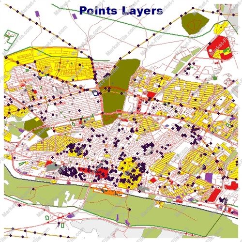
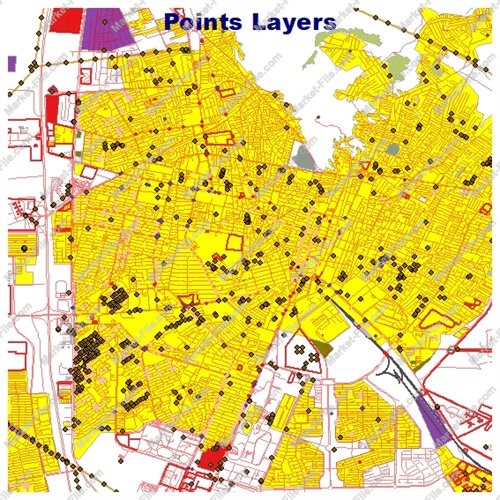
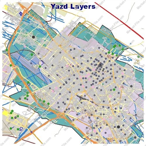
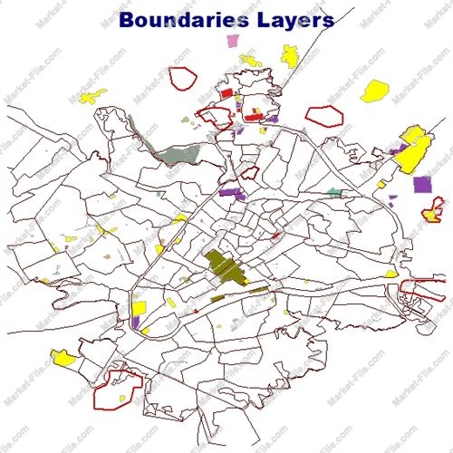
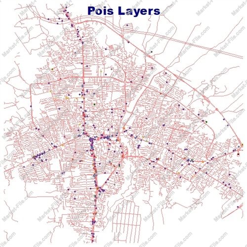
This Amol Shapefile package includes a broad collection of vector layers designed to provide a detailed visual and geographic representation of Amol and its surrounding urban environment. The dataset combines buildings, roads, land use, boundaries, places, points of interest, natural features, transportation elements, and water-related objects in one organized package. The boundaries_lines and boundaries_polygons layers contain boundary-related features represented as lines and polygons. The buildings layer provides mapped building footprints and structures. The landuse layer represents different land-use areas, while multipolygons contains geographic objects represented through multipart polygon geometries. Natural features are divided into three layers: natural_lines for linear natural elements, natural_points for point-based natural features, and natural_polygons for natural areas represented as polygons. These layers add geographic context to the built-up areas and help users visualize the relationship between urban and natural features. The package also includes other_lines, other_points, and other_polygons for additional mapped objects that do not belong to the main feature categories. The places_points and places_polygons layers represent places and geographic locations using point and polygon geometries. The points layer provides another general collection of point-based features. Points of interest are organized into three dedicated layers: pois_lines, pois_points, and pois_polygons. These layers contain linear, point-based, and polygon-based POI features and provide a broader view of notable or mapped locations across the dataset. Transportation information is represented through railways, roads_lines, and roads_polygons. The railways layer contains railway-related features. roads_lines represents roads as linear features, while roads_polygons contains road areas represented as polygons. The water and waterways layers represent mapped water areas and linear water features such as rivers and streams. Overall, the package contains 21 layers suitable for general GIS visualization, mapping, and geographic exploration. These layers can be explored individually or combined to create customized map views of Amol. Users can select specific feature categories, compare different geographic elements, and prepare illustrative maps for presentations or general spatial visualization. Please note that layer coverage, completeness, and positional accuracy are not guaranteed.
- Category
- Shapefile, Maps, Vector Maps
- Type
- Map
- SKU
- OS-2A2F782936
- File
- Amol.rar
- Size
- 913.1 KB
- Licenses
- Personal · €0.00
- Tags
- Urban GIS, Shapefile Download, Geographic Data, Iran Shapefile, GIS Data, Iran GIS Data, Amol Shapefile, Amol GIS, Mazandaran GIS, Amol Map
- Companion files included
- .shp, .shx, .dbf, .prj, .cpg, .sbn, .sbx, Other
- Compatible software
- QGIS, ArcGIS Pro, ArcMap, Other
- Complete Shapefile set
- Seller Declared Complete (.shp + companions)
- Continent
- Asia
- Coverage type
- City
- File formats included
- SHP, Other
- Geometry types
- Point, Multipoint, Line, Polygon, Multipolygon, Other
- Intended audience
- Students, Travelers, General Public, Other
- Map asset type
- General Reference Map, GIS Dataset, Vector Graphic Map, Tourism Map, Thematic Map, Printable / Decorative Map, Web / Interactive Map Asset, Other
- Map purpose
- Education, Presentation, Print, Web Mapping, Decorative, Other
- Package
- Single file