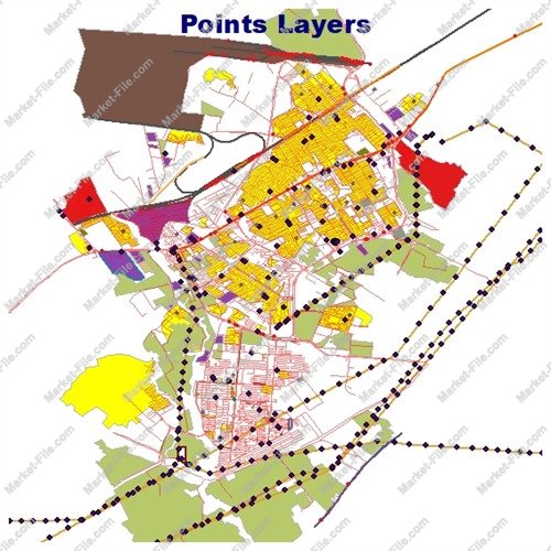
Eslamshahr Iran Shapefile – Complete Urban GIS Map
€0.00
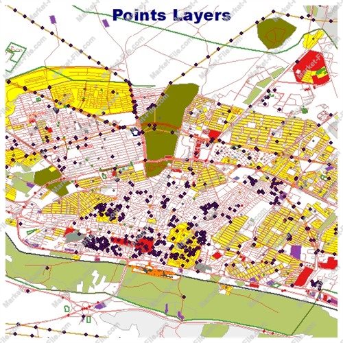
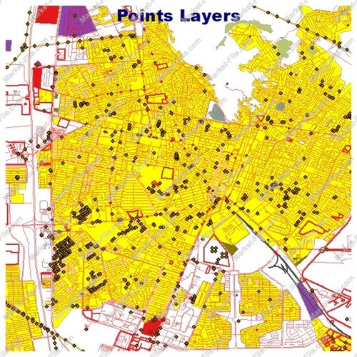
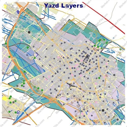
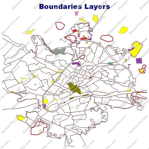
Explore Eslamshahr, one of the major urban centers in Tehran Province, Iran, with this comprehensive Shapefile package designed for mapping, visualization, and general geographic reference. Located southwest of Tehran, Eslamshahr has developed into an important residential and urban area, benefiting from its proximity to the capital and its connections to surrounding communities and transportation networks. This digital map package includes a wide variety of geographic layers covering buildings, roads, land use, boundaries, natural features, water systems, railways, points of interest, and other mapped elements. With multiple line, polygon, and point datasets, it provides a broad overview of Eslamshahr's urban structure and surrounding geographic features. The files have been compiled through careful collection of available geographic data to provide a rich and diverse representation of the city. The package is suitable for general mapping projects, GIS practice, cartographic visualization, educational demonstrations, and personal geographic exploration. Please note that this product is provided for general informational and visualization purposes only. Despite careful data collection, it has no guaranteed technical, surveying, engineering, or scientific accuracy and should not be considered an authoritative geographic reference. It must not be used for scientific research, engineering calculations, land surveying, legal boundary verification, or other applications requiring validated and officially certified spatial data.
The Eslamshahr Shapefile package contains 22 geographic layer categories, offering a diverse collection of spatial features for exploring the city's built environment, transportation systems, land use, and natural surroundings. The layers are organized into point, line, and polygon datasets to support different types of map visualization and geographic analysis. **Boundaries and Administrative Features** - `boundaries_lines`: Linear representations of boundaries and divisions. - `boundaries_polygons`: Polygon features representing bounded geographic areas. **Buildings and Land Use** - `buildings`: Building footprints and mapped structures. - `landuse`: Land-use areas representing different types of urban and surrounding land. - `multipolygons`: Combined or complex polygon features representing mapped geographic objects. **Natural Features** - `natural_lines`: Linear natural features. - `natural_points`: Point-based natural features. - `natural_polygons`: Area-based natural features. - `water`: Water-related geographic features. - `waterways`: Rivers, streams, channels, and other mapped watercourses. **Roads and Transportation** - `roads_lines`: Linear road features for displaying the road network. - `roads_polygons`: Polygon representations of roads and related transport areas. - `railways`: Railway routes and mapped railway infrastructure. **Places and Points of Interest** - `places_points`: Point locations representing settlements and named places. - `places_polygons`: Polygon representations of places or mapped settlement areas. - `pois_points`: Point locations for mapped points of interest. - `pois_lines`: Linear features associated with points of interest. - `pois_polygons`: Area features associated with points of interest. - `points`: A general collection of point-based geographic objects. **Other Geographic Features** - `other_lines`: Additional linear features not classified in the main categories. - `other_points`: Additional point-based mapped objects. - `other_polygons`: Additional polygon features. Together, these 22 layer categories provide a varied geographic overview of Eslamshahr, making the package useful for general-purpose GIS visualization, map design, geographic demonstrations, and exploratory projects. Actual feature coverage and attribute detail may vary between layers. Important: Layer names describe their general data categories and do not guarantee the presence of every expected feature. The package is not an officially validated or scientifically authoritative dataset and should not be used for engineering, surveying, scientific research, or other applications requiring verified spatial accuracy.
- Category
- Shapefile, Maps, Vector Maps
- Type
- Map
- SKU
- OS-F78C214A90
- File
- Eslamshahr.rar
- Size
- 803.6 KB
- Licenses
- Personal · €0.00
- Tags
- Road Network Shapefile, Urban GIS Data, Land Use GIS, Building Footprints, Eslamshahr Shapefile, Iran GIS Map, Tehran Province Map, Eslamshahr Map Download, Iran Digital Map, GIS Layer Package
- Companion files included
- .shp, .shx, .dbf, .prj, .cpg, .sbn, .sbx, Other
- Compatible software
- QGIS, ArcGIS Pro, ArcMap, Other
- Complete Shapefile set
- Seller Declared Complete (.shp + companions)
- Continent
- Asia
- Coverage type
- City
- File formats included
- SHP, Other
- Geometry types
- Point, Multipoint, Line, Polygon, Multipolygon, Other
- Intended audience
- Students, Travelers, General Public, Other
- Map asset type
- General Reference Map, GIS Dataset, Vector Graphic Map, Tourism Map, Printable / Decorative Map, Web / Interactive Map Asset, Other
- Map purpose
- Cartography, Presentation, Print, Web Mapping, Other
- Package
- Single file