Borujerd, Iran – Complete Urban Shapefile GIS Data Package
€0.00
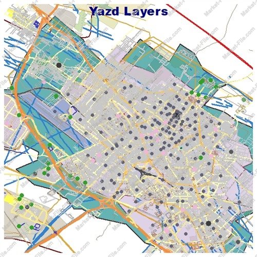
Explore Borujerd, one of the historic and culturally significant cities of Lorestan Province in western Iran, with this comprehensive urban Shapefile data package. Located in a fertile plain surrounded by the Zagros Mountains, Borujerd is known for its pleasant climate, historic neighborhoods, traditional architecture, and important role as a regional center. This package contains a wide variety of GIS layers covering different aspects of the city's urban environment. The dataset includes boundaries, buildings, land use, roads, railways, waterways, natural features, points of interest, places, and numerous other geographic objects. With 22 organized layer categories and multiple geometry types, the package provides a broad spatial overview of Borujerd in a convenient and reusable Shapefile format. The files have been prepared through the collection and organization of the most accurate available geographic data for the intended purpose, with attention to consistency and practical usability. They can be useful for GIS visualization, cartographic projects, general mapping, urban-data exploration, educational demonstrations, software testing, and other non-critical applications. Please note that this dataset has no technical or official surveying value and should not be considered an authoritative source for engineering, cadastral, legal, governmental, scientific, academic, or other precision-critical applications. Users should independently verify the information before relying on it for any important purpose.
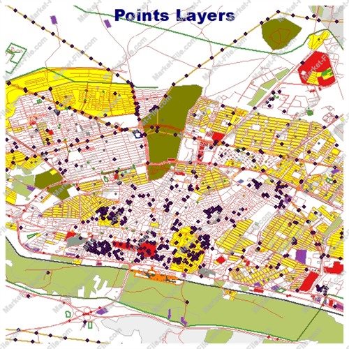
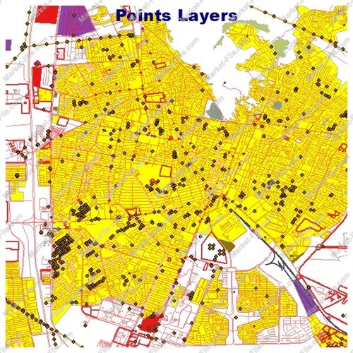
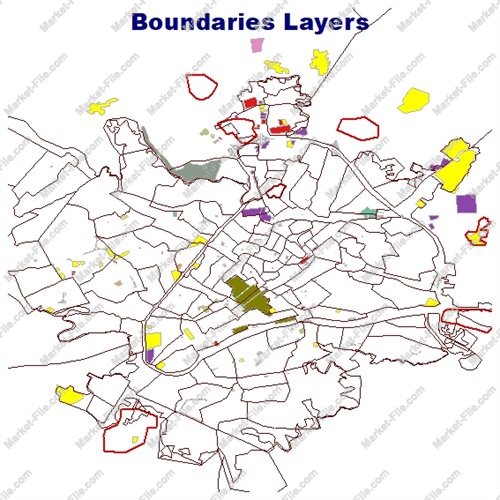
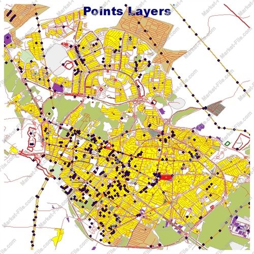
This Borujerd urban Shapefile package contains a diverse collection of geographic layers designed to provide a broad and practical representation of the city's built environment, transportation network, land use, natural features, landmarks, and other mapped objects. The package includes 22 main layer categories, covering both linear, polygonal, and point-based geographic information. The **boundaries_lines** and **boundaries_polygons** layers represent boundary-related geographic features in line and polygon formats. The **buildings** layer contains mapped building footprints, while **landuse** provides information related to different land-use areas. The **multipolygons** layer contains geographic features represented through complex multi-part polygon geometries. Natural and environmental features are represented through **natural_lines**, **natural_points**, and **natural_polygons**, allowing different types of natural geographic objects to be represented according to their geometry. Additional miscellaneous geographic information is organized into **other_lines**, **other_points**, and **other_polygons**. The package also includes location and place-related information through **places_points** and **places_polygons**, while the **points** layer provides additional point-based geographic objects. Points of interest are organized into **pois_lines**, **pois_points**, and **pois_polygons**, providing several geometry formats for mapped places and notable features. Transportation information is covered by several important layers. **roads_lines** represents road networks as linear features, while **roads_polygons** contains road-related polygon features. The **railways** layer provides railway-related geographic information. Hydrological and water-related features are included through the **water** and **waterways** layers, covering mapped water areas and linear water features. Together, these layers provide a detailed and varied geographic representation of Borujerd and can be useful for visualization, GIS projects, map design, spatial exploration, data presentation, software testing, and other general-purpose applications. The package is intended as a practical geographic data resource rather than an official surveying or scientific dataset. The information has been collected and organized from the most accurate available data sources for the intended purpose, but the files have no technical, legal, cadastral, engineering, or scientific authority. They should therefore not be used for precision-critical, official, academic, or scientific applications without independent verification.
- Category
- Shapefile, Maps, Vector Maps
- Type
- Map
- SKU
- OS-FA5480BA88
- File
- Borujerd.rar
- Size
- 1.2 MB
- Licenses
- Personal · €0.00
- Tags
- Iran Shapefile, Iran GIS Data, Borujerd Shapefile, Borujerd GIS, Borujerd Map, Lorestan GIS, Urban Shapefile, City GIS Data, Borujerd Map Data, GIS Download
- Companion files included
- .shp, .shx, .dbf, .prj, .cpg, .sbn, .sbx, Other
- Compatible software
- QGIS, ArcGIS Pro, ArcMap, Other
- Complete Shapefile set
- Seller Declared Complete (.shp + companions)
- Continent
- Asia
- Coverage type
- City
- File formats included
- SHP, Other
- Geometry types
- Point, Multipoint, Line, Polygon, Multipolygon, Other
- Intended audience
- Students, Other
- Map asset type
- General Reference Map, GIS Dataset, Vector Graphic Map, Printable / Decorative Map, Web / Interactive Map Asset, Other
- Map purpose
- Cartography, Presentation, Print, Web Mapping, Other
- Package
- Single file