Bam, Kerman, Iran – Comprehensive City Shapefile GIS Data
€0.00
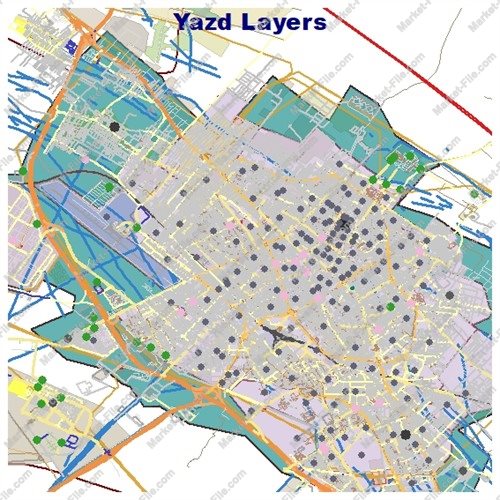
Explore Bam, one of the most historically remarkable cities in Kerman Province, Iran, with this comprehensive Shapefile dataset. Located in southeastern Iran, Bam is internationally known for its ancient adobe architecture and the spectacular Arg-e Bam, a vast historic citadel and fortified complex built primarily from earthen materials. With a history stretching back thousands of years, the citadel represents one of the most impressive examples of traditional mud-brick construction in the world and remains the defining landmark of the city. This GIS package provides a broad collection of spatial data layers covering Bam and its surrounding urban environment. The dataset includes buildings, roads, land use, waterways, natural features, places, points of interest, boundaries, railways, and many other geographic elements, making it useful for visualization, mapping, GIS exploration, urban presentation, and general geographic reference. The data has been compiled and organized from carefully collected and detailed geographic sources to provide a rich and practical representation of Bam. However, despite the volume and variety of information included, this dataset has no certified technical, surveying, engineering, or scientific value. It should not be used for academic research, scientific analysis, professional surveying, engineering projects, legal purposes, or other applications requiring verified positional accuracy. This product is intended primarily for general GIS use, visualization, educational exploration, mapping projects, and creative or commercial applications.
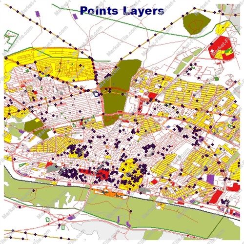
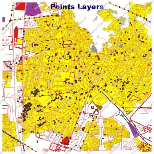
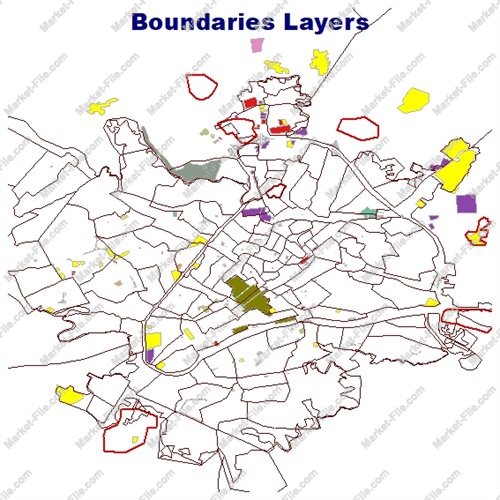
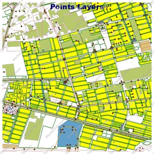
This Bam Shapefile package contains a wide variety of GIS layers designed to provide a detailed visual and geographic representation of Bam, Kerman Province, Iran. The collection includes multiple geometry types and categories covering the built environment, transportation network, land use, natural features, water systems, administrative elements, places, and points of interest. The **boundaries_lines** and **boundaries_polygons** layers contain linear and polygonal boundary features. **Buildings** represents mapped building structures, while **landuse** contains areas associated with different types of land use. The **multipolygons** layer provides additional complex polygon features that may represent geographic objects composed of multiple parts. Natural geographic elements are represented through **natural_lines**, **natural_points**, and **natural_polygons**, providing linear, point-based, and area-based natural features. Additional geographic objects are organized into **other_lines**, **other_points**, and **other_polygons**, offering broader coverage of features that do not fall into the main thematic categories. The package also includes **places_points** and **places_polygons**, which represent locations and areas associated with named places. The **points** layer provides additional point-based geographic features, while the three points-of-interest layers — **pois_lines**, **pois_points**, and **pois_polygons** — contain POI-related features represented using different geometry types. Transportation data is covered by **railways**, **roads_lines**, and **roads_polygons**. These layers provide complementary representations of railway and road-related geographic features and help create a more complete picture of Bam's transportation network. Hydrological and water-related information is included through the **water** and **waterways** layers, representing water areas and linear water features. Overall, the dataset contains 21 separate layers, offering a broad and varied collection of geographic information for Bam. The combination of point, line, and polygon data makes the package suitable for GIS visualization, map design, geographic exploration, general-purpose mapping, and commercial or creative projects. Although the dataset contains a substantial amount of geographic information, it is not a certified or professionally surveyed GIS database. The data should not be considered authoritative and is not intended for scientific research, academic analysis, engineering, surveying, legal, cadastral, or other applications requiring verified positional accuracy.
- Category
- Shapefile, Maps, Vector Maps
- Type
- Map
- SKU
- OS-8EF16C6BD4
- File
- Bam.rar
- Size
- 1.4 MB
- Licenses
- Personal · €0.00
- Tags
- Iran GIS, Iran Shapefile, GIS Data, City Shapefile, Bam Shapefile, Bam GIS, Bam Iran, Kerman GIS, Bam Map, Arg-e Bam
- Companion files included
- .shp, .shx, .dbf, .prj, .cpg, .sbn, .sbx, Other
- Compatible software
- QGIS, ArcGIS Pro, ArcMap, Other
- Complete Shapefile set
- Seller Declared Complete (.shp + companions)
- Continent
- Asia
- Coverage type
- City
- File formats included
- SHP, Other
- Geometry types
- Point, Multipoint, Line, Polygon, Multipolygon, Other
- Intended audience
- Students, Travelers, General Public, Other
- Map asset type
- General Reference Map, GIS Dataset, Vector Graphic Map, Printable / Decorative Map, Web / Interactive Map Asset, Other
- Package
- Single file