Paris City Map – Shapefile GIS Dataset
€0.00
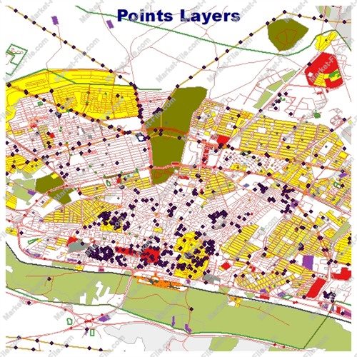
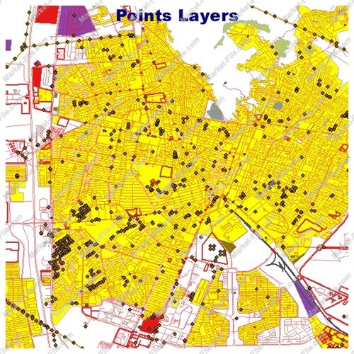
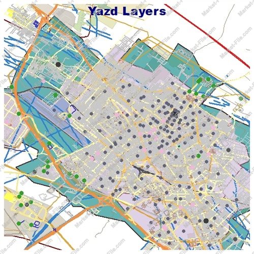
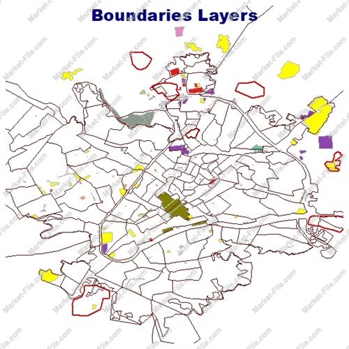
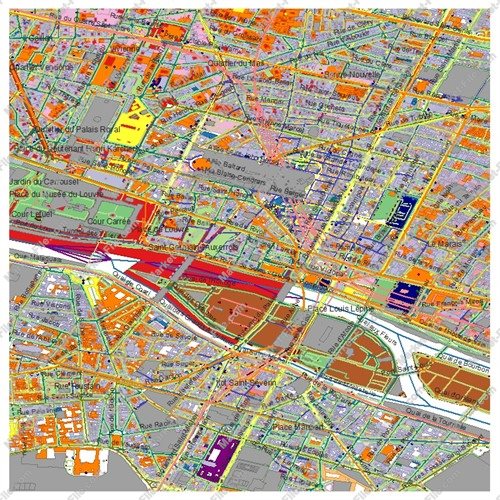
Paris GIS Shapefile Dataset – 21 Geographic Layers The package includes buildings, roads, railways, landuse, boundaries_lines, boundaries_polygons, multipolygons, natural_lines, natural_points, natural_polygons, other_lines, other_points, other_polygons, places_points, places_polygons, points, etc. These layers provide a broad overview of Paris's geographic and urban environment. They can be useful for general mapping, GIS practice, preliminary visualization, personal projects, demonstrations, and exploring geographic data. The separate files allow users to select, display, and combine different feature types according to their needs. The dataset is compatible with GIS software such as QGIS, ArcGIS, and Global Mapper, provided the files meet the software's format requirements. **Important Data Quality Disclaimer** Although this package contains a large volume and variety of geographic information, the data has been collected and compiled from different sources and should not be considered a fully verified, authoritative, or consistently accurate dataset. Completeness, positional accuracy, attribute quality, and update frequency may vary between layers and features. This product is therefore intended primarily for general-purpose mapping, visualization, learning, and exploratory use. It is **not recommended for academic research requiring validated data, scientific analysis, engineering applications, official planning, surveying, legal purposes, or other projects requiring high levels of accuracy and reliability**. Users should independently verify the data, its source, coordinate reference system, completeness, and suitability before using it for any critical purpose. By purchasing this package, you receive a convenient collection of geographic layers for general GIS applications, with the understanding that the dataset is provided for exploratory and illustrative purposes rather than as a guaranteed source of authoritative geographic information.
Paris GIS Shapefile Dataset – 21 Layers Explore Paris, France, with this GIS package for mapping and spatial analysis. The 21 Shapefile layers organize geographic information for professionals. Included layers: boundaries_lines: Linear geographic or administrative boundaries. boundaries_polygons: Boundary areas and defined zones. buildings: Building footprints for urban mapping. landuse: Residential, commercial, industrial, recreational, and other land-use areas. multipolygons: Features made of multiple polygon parts. natural_lines: Linear natural features. natural_points: Point-based natural features. natural_polygons: Natural areas and formations. other_lines: Additional linear features. other_points: Miscellaneous point objects. other_polygons: Additional polygon areas. places_points: Named places, neighborhoods, districts, and related locations. places_polygons: Place-related areas, where available. points: General point features. pois_lines: Points of Interest or related line features. pois_points: POIs such as attractions, services, facilities, businesses, and public amenities. pois_polygons: Area-based POIs, such as larger sites or facilities. railways: Railway infrastructure and related features. roads_lines: Street and road network for transport mapping. roads_polygons: Road-related areas represented as polygons. water: Mapped water bodies and areas. waterways: Linear water features, such as rivers, streams, and canals. Together, these layers represent Paris’s urban structure, transport, land use, nature, water, and points of interest. Combine them to create maps and support spatial analysis. Compatible applications include QGIS, ArcGIS, Global Mapper, and other software supporting ESRI Shapefile. Style features, filter records, combine layers, and integrate the data with compatible geographic datasets. Use cases include cartography, planning, transport studies, location analysis, visualization, education, and research. Coverage and attributes depend on the source; inspect files before critical use. This is dataset, not a physical product. Check its coordinate reference system and licensing or attribution requirements. If sourced from OpenStreetMap, follow its attribution and ODbL requirements.! **Important Data Quality Disclaimer** Although this package contains a large volume and variety of geographic information, the data has been collected and compiled from different sources and should not be considered a fully verified, authoritative, or consistently accurate dataset. Completeness, positional accuracy, attribute quality, and update frequency may vary between layers and features. This product is therefore intended primarily for general-purpose mapping, visualization, learning, and exploratory use.
- Category
- Shapefile, Maps, Vector Maps
- Type
- Map
- SKU
- OS-D305DAD0D2
- File
- Paris-shp.rar
- Size
- 41.7 MB
- Licenses
- Personal · €0.00
- Tags
- Paris Map, Paris GIS Data, Paris Shapefile, Paris Geographic Data, Paris GIS Map, France Shapefile, Paris OpenStreetMap, GIS Shapefile Dataset, Paris Urban Map, Paris City Map
- Companion files included
- .shp, .shx, .dbf, .prj, .cpg, .sbn, .sbx
- Compatible software
- QGIS, ArcGIS Pro, ArcMap, Other
- Complete Shapefile set
- Seller Declared Complete (.shp + companions)
- Continent
- Europe
- Coverage type
- City
- File formats included
- SHP, Other
- Geometry types
- Point, Multipoint, Line, Polygon, Multipolygon
- Georeferenced
- Yes
- Intended audience
- Students, General Public
- Map asset type
- General Reference Map, Printable / Decorative Map, Web / Interactive Map Asset
- Map purpose
- Education, Web Mapping, Decorative
- Native project file included
- Yes
- Package
- Single file
- Scale category
- Medium Scale